
Underhill State Park
Underhill, VT
Underhill is within Vermont’s 39,837-acre Mt. Mansfield State Forest. On the headwaters of the Brown’s River, at about 2,000 feet elevation, the park lies on the west slope of 4,300 feet Mt. Mansfield, the state’s highest peak. Just over the summit ridge is the Stowe ski area, one of North America’s original ski resorts.
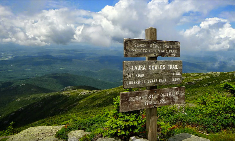
The elevation and corresponding exposure to harsh climatic conditions have resulted in some relatively unusual vegetation types along the mountain’s summit ridge. The low, stunted-plants found in the alpine tundra near the summit, very rare in New England, are more typical of types found on broad expanses of Arctic tundra a thousand miles farther north. These plants are fragile (if you hike to the summit, please stay on marked trails).
The park is probably best known for its hiking. There are four trails to the summit ridge of Mt. Mansfield from Underhill State Park. Walking up the gated road from the park headquarters, the trails begin branching off shortly above the group camp area. The Sunset Ridge Trail, 3 miles to the summit, is the most popular. Vermont’s Long Trail traverses the summit ridge and, with several trails from the other side of the mountain, many loops are possible. Hiking information and trail maps are available at the park headquarters.
Facilities:
- 26 lean-to sites for group camping
- 7 remote lean-to’s
- 1 remote tent site
Activities:
Group/remote camping, hiking, swimming, boating, fishing, mountain biking, nature programs